GMH
We serve as a central hub for information about methane mitigation and advocate for free data sharing.
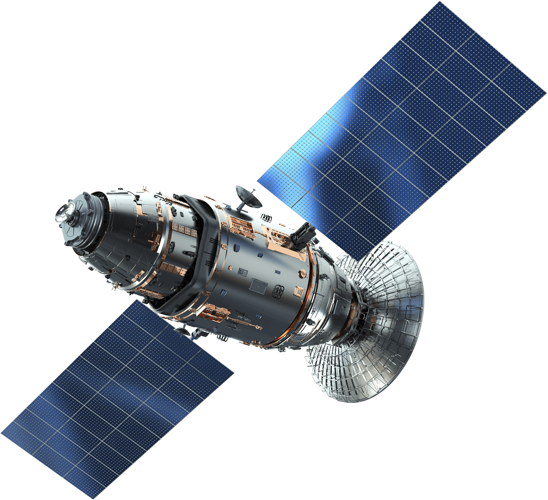
Discover how scientists are using satellite technology to track methane emissions from space. This video highlights how data and innovation are helping communities take real-time action against climate change.
This video was made possible through our partnership with the IKEA Foundation. We’re grateful to join forces in advancing one of the most powerful ways to slow global warming: reducing methane emissions. Together, we’re showing how swift action can create lasting change for people and the planet.
Reducing methane emissions is the fastest way to drive down global temperatures. Previously, gasses like methane were hard to measure, making it difficult for governments to identify and address methane emissions. Now, after addressing critical funding and technology gaps for methane-detection, there are satellites that increase methane data collection which has made it easier to do so.
Collaboration and information-sharing are critical to methane reduction efforts, and having different sources of data collection and increased data transparency are important tools for the public, policymakers, scientists, NGOs, industry leaders, and philanthropic organizations to efficiently and effectively work to decrease methane emissions. The below satellite programs will have enhanced transparency that allow local authorities to pinpoint emission sources.
The Waste Methane Assessment Platform, or WasteMAP, was created by RMI and Clean Air Task Force, with funding from the Global Methane Hub, Google.org, Carbon Mapper, and SRON. It will improve waste methane emissions transparency and highlight mitigation opportunities and best practices to reduce solid waste methane emissions.
The Carbon Mapper data portal includes observations of methane and CO2 super-emitters across the globe. It detects, pinpoints, and quantifies emissions at a facility scale and makes this data available to the public, providing accessibility and transparency to maximize impact.